With over 70 frozen lakes, 65 peaks higher than 2500 meters, and three stunning natural parks, Andorra is a paradise for snowshoeing.
But with so many options, it can be challenging to decide where to snowshoe in Andorra! That’s why we’ve put together a list of 15 handpicked routes that we’ve snowshoed over the years and cover all snowshoeing levels.
Some of them are great for beginners, whereas others are only recommended to the most experienced mountaineers. Some are peaceful treks through snow-covered forests, whereas others are steep climbs to panoramic mountain views. There’s something for everyone when it comes to snowshoeing in Andorra!
This guide includes all the essential details for each route, so all you need to do is pick your trail, strap on your snowshoes, and get ready to explore Andorra’s winter wonderland!
* Post written for the first time in November 2024 and updated in October 2025.
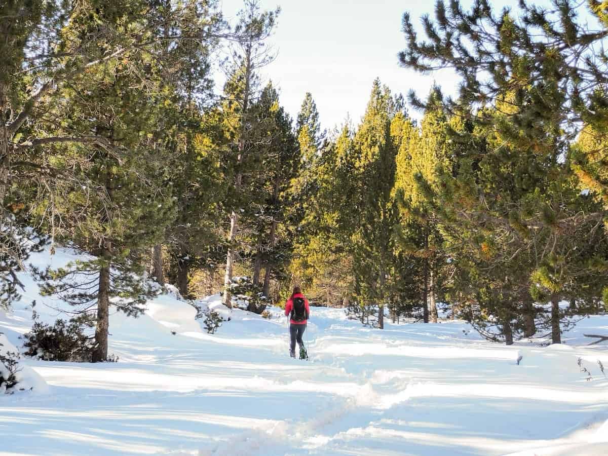
Beginner-friendly snowshoeing routes in Andorra
These snowshoeing routes in Andorra are perfect for beginners or when you want to take things easy. They’re trails with no more than 400 m of elevation gain, which usually take between 2 and 4 hours.
⚠️ Important!
While these routes are beginner-friendly, keep in mind they aren’t flat! There’s still climbing involved, and for those not used to exercise, they can be pretty tiring. Be prepared for a bit of uphill!
Camí de Mereig
📍Starting point: Collet de Montaup (free)
↔️ Distance: 6 km (circular route)
⬆️ Elevation gain: 375 m
🟢 Level: Easy
🧭 Wikiloc route
Camí de Mereig is a beautiful trail winding mostly through pine forests. The first part of the hike is a steady ascent all the way to the mountain pass of Coll d’Ordino, where the views are spectacular!
The return route follows the same trail but varies in a few sections to keep things interesting.
One of the changes will allow you to see Andorra’s most famous lookout: Roc del Quer. In winter, access to the lookout is free of charge, making it a perfect detour on your way back.
Kids will also love the route because, during the ascent, they can take a short detour to find a Tamarro. Those are sculptures of mystical creatures (very cute and fun!) that protect nature. There are seven of them scattered throughout Andorra.
🧒🏼 Going with kids or babies?
If you want to make the walk shorter, you can do it by starting at the Tamarro. This way, the whole route will be 3 km instead of 6.
Grau de la Llosa
📍Starting point: Parking lot Vall de Sorteny (free in winter)
↔️ Distance: 4.46 km (circular route)
⬆️ Elevation gain: 290 m
🟢 Level: Easy
🧭 Wikiloc route
This is one of our favourite easy snowshoeing routes in Andorra. It takes place in the beautiful Sorteny Valley, which was declared a UNESCO Biosphere Reserve in 2020.
The route begins along the Rialb River and then climbs through a forest until the Grau de la Llosa lookout. There, you’ll find a little surprise: a wooden hammock perfect for resting and admiring the landscape! From here, the views of the peaks in Ordino-Arcalís ski resort are breathtaking!
You’ll then start the descent, passing by the Sorteny mountain hut, where you can stop for lunch or a drink on their incredible terrace.
The final stretch of the route follows a wide path, where you’ll find a botanical garden and some structures known as Estipagencs. These are metal bars with spiked sides originally used to secure windows, now an emblem of the parish of Ordino.
👌 Our tip
If you want to mix your snowshoe adventure with a gastronomic one, book a spot to eat in the Sorteny mountain hut. When it’s sunny (and not too cold), you can enjoy lunch on their big terrace, which has incredible views. But if you prefer to stay warm, the hut has a beautiful and cosy dining room. We recommend booking in advance.
- Sculptures called Estipagencs
- Well-deserved lunch at Refugi de Sorteny
Estany de Querol i Salamandres
📍Starting point: Carretera d’Entor (free)
↔️ Distance: 3 km (one way)
⬆️ Elevation gain: 400 m
🟢 Level: Easy
🧭 Wikiloc route
Go for this snowshoeing route in Andorra if you’re looking for epic views of the Incles Valley and Grandvalira ski resort.
Start your adventure at the end of Entor Street, where the trail begins with a steady climb through a dense pine forest. After a while, the forest opens up and gives place to km and km of meadows covered in snow. If it’s sunny, pay attention to the snow’s shapes and how the light shines on its surface; it’s so beautiful!
A bit further along, you’ll pass the Querol Lake, though it’s covered in snow in winter and can be difficult to spot. And finally, you’ll reach two more small lakes known as Basses de les Salamandres (Salamander Lakes).
This hike is less popular than others in Andorra, making it perfect to escape the crowds that tend to flock to the nearby Incles Valley.
Estany de Querol i Salamandres trail
- Views of Incles Valley from the Estany de Querol i Salamandres trail
Pic del Maià and Pic Ortafà
📍Starting point: (free)
↔️ Distance: 3.5 km (one way)
⬆️ Elevation gain: 380 m
🟢 Level: Easy
🧭 Wikiloc route
This is a route with an incredible effort-to-reward ratio. Despite being relatively easy, it takes you up two Andorran peaks: Maià (2615 m) and Ortafà (2608 m).
The trail goes up through a wide mountain range, following a path that’s sometimes shared with snowmobiles (which can be a bit annoying…) until the Maià Peak. This is easily recognisable cause it has a big antenna. The 360º panoramic views from here are incredible.
But the adventure isn’t over yet! The next peak, Ortafà, awaits. The trail continues through the wide mountain ridge for about 2 km before reaching the next peak, which also has breathtaking views of the peaks across Andorra and France.
The return follows the same path.
- Views from Pic del Maià
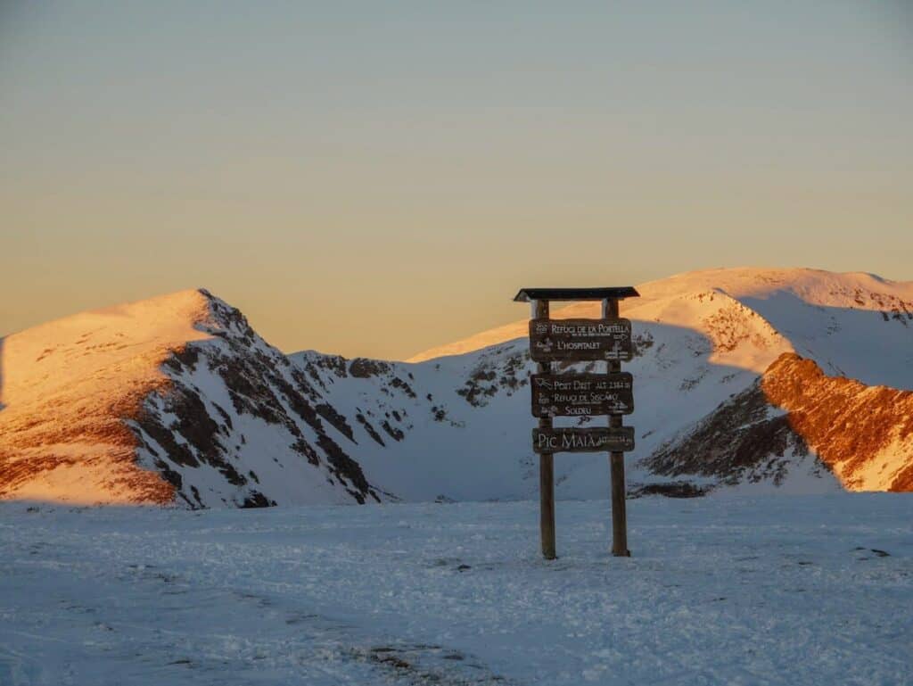
- Sign indicating the Maià Peak
Estany Esbalçat
📍Starting point: Cabanes del Castellar (free)
↔️ Distance: 5.8 km (circular route)
⬆️ Elevation gain: 475 m
🟢 Level: Easy-Intermediate
🧭 Wikiloc route
Okay, this one has a bit more than 400 m of elevation gain, but those extra 75 m are totally worth it!
Esbalçat Lake is close to the Ordino-Arcalís ski resort, the most remote one in Andorra, so you can look forward to peace and quiet.
The trail begins along the Comís Vella River, winding through the forest. Then, it turns steeper as you climb towards the lake. The views during the whole route are spectacular!
To make it more interesting, we turned it into a circular route, descending along the Tristaina River. The descent here is a bit steeper, so if you’d prefer a gentler way down, you can retrace your steps (it’s also a bit shorter).
Intermediate snowshoeing routes in Andorra
These snowshoeing routes in Andorra are perfect for people in good shape or who want to take on a challenge. The terrains are not technical, but you need to be used to exercise, know how to use snowshoes (we don’t recommend them to first-timers), and, above all, have motivation!
They are all high-altitude hikes with an elevation gain between 400 and 800 m, which usually take between 4 and 6 hours.
Estany Primer de Juclar
📍Starting point: Vall d’Incles parking lot (paid parking)
↔️ Distance: 6.4 km (one way)
⬆️ Elevation gain: 550 m
🟠 Level: Intermediate
🧭 Wikiloc route
The trail to Juclar Lakes is the most popular route in Vall d’Incles, one of Andorra’s most stunning valleys.
The first stretch is almost flat and winds through a snow-covered road that takes you deeper into the valley. Along the way, you’ll pass traditional stone mountain houses (called bordes) and a charming chapel. The landscape looks straight from a postcard.
At the end of the road, there’s a parking lot, restrooms, and a boutique hotel with a beautiful restaurant and terrace. From here, the trail gets steeper as it begins its climb.
You’ll climb through forests, admire a frozen waterfall, and cross various stone bridges before reaching a gorgeous alpine lake surrounded by rugged mountain peaks.
If you’re up for a drink or some food to recharge, there’s a mountain hut next to the lake.
The return follows the same trail.
🌄 Upgrade your adventure
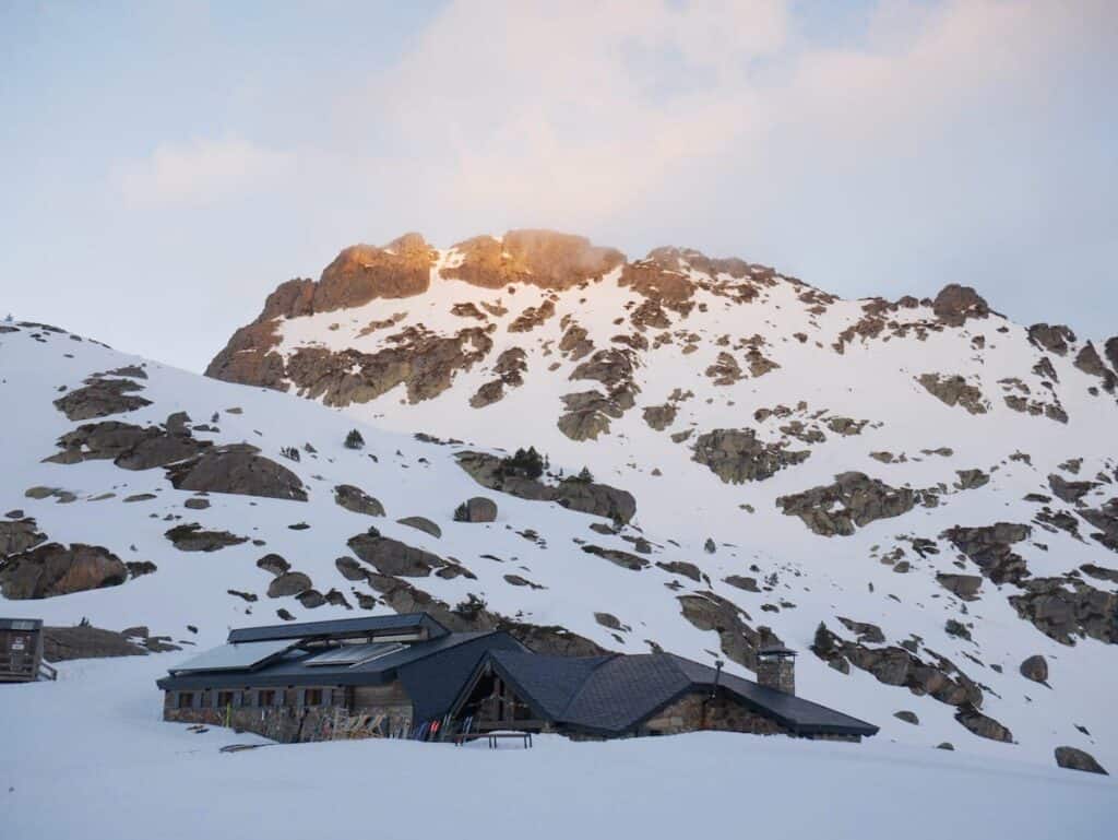
If you’re up for a 2-day adventure, we recommend spending a night at the Juclar hut (right next to the lake). We’ve stayed in this hut several times, and we really like it. The food is delicious, the staff is really friendly, and the location is breathtaking. Plus, there is no WiFi, so it’s perfect to disconnect!
If you want to return the next day following a different path, this route is a great option.
- Beautiful views along the trail up to the Juclar Lake
- Juclar mountain hut
Estany de Siscaró
📍Starting point: Vall d’Incles parking lot (paid parking)
↔️ Distance: 11. 42 km (circular route)
⬆️ Elevation gain: 600 m
🟠 Level: Intermediate
🧭 Wikiloc route
This is another beautiful route in the Incles Valley. The first part follows the same trail as the route to Juclar Lake mentioned above. It follows a snow-covered road until a parking lot, where you’ll find restrooms and a restaurant. From there, the climb gets steeper.
After a while, you’ll find a sign pointing left toward Juclar Lakes and right toward Siscaró Lake. That’s where you’re heading!
Once you finish the steepest part of the trail, which winds along the Siscaró River, you’ll arrive at a snow-covered meadow, from where you’ll spot the Siscaró hut. This is an unguarded hut with all the basic facilities to spend the night, like bunk beds, a fireplace, and a table. So, if you’re up for a night’s adventure, pack warm clothes, a sleeping bag, food and water, and go for it!
But our route doesn’t end here. After a stop at the hut (to admire it or for a snack), retrace your steps and climb the final stretch to the frozen Siscaró Lake.
The way down follows the same trail, though you can change the snow-covered road for a beautiful path that unwinds through the forest (as shown in our Wikiloc route).
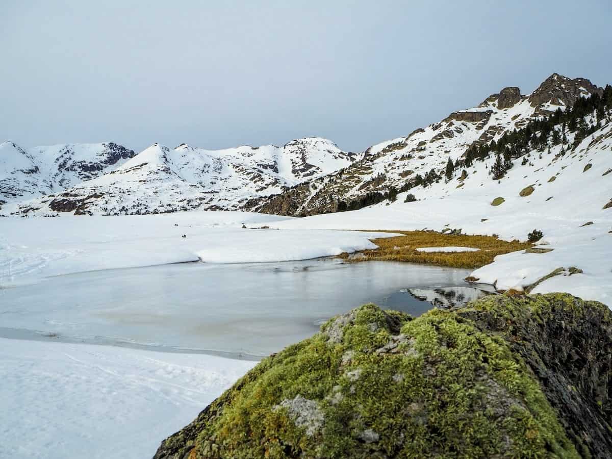
Pic de Casamanya
📍Starting point: Coll d’Ordino (free)
↔️ Distance: 3.75 km (one way)
⬆️ Elevation gain: 750 m
🟠 Level: Intermediate
🧭 Wikiloc route
Casamanya, located in the heart of Andorra, is one of the country’s most iconic mountains.
You can see it from almost everywhere, which means you can also see everything from its top! The views once you reach the peak are incredible and span as far as France and Spain.
The route presents no technical difficulty, and the only challenge is the cumulative gain.
We’ve climbed Casamanya countless times: in summer, winter, with friends, at sunset…you name it, we’ve probably done it! We love it because it has a great variety of landscapes (from pine forests to rounded hills) and panoramic views. Plus, the effort-reward ratio is great!
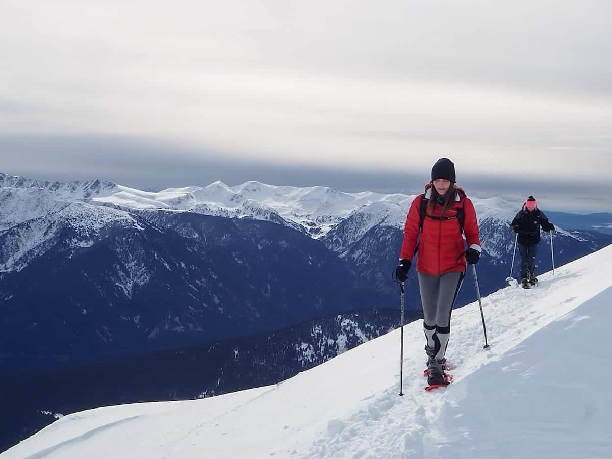
Estany d’Ensangents
📍Starting point: Cortals d’Encamp (free)
↔️ Distance: 8.34 km (circular route)
⬆️ Elevation gain: 694 m
🟠 Level: Intermediate
🧭 Wikiloc route
Estany d’Ensangents is an alpine lake located at 2547 m. The surroundings of the lake are breathtaking, but what makes this route really special is that the journey is as impressive as the destination.
Along the way, you’ll admire snow-covered meadows, black pine forests, and incredible views of rugged peaks. You’ll also come across the Ensangents hut, an unguarded mountain shelter in an idyllic setting.
The route is circular, mostly through the forest, except for the part that climbs from the hut to the lake.
- Black pine forests on the way to Estany d’Ensangents
- Snowshoeing to Estany d’Ensangents
Estany de l’Estanyó
📍Starting point: Vall de Sorteny parking lot (free in winter)
↔️ Distance: 4.4 km (one way)
⬆️ Elevation gain: 566 m
🟠 Level: Intermediate
🧭 Wikiloc route
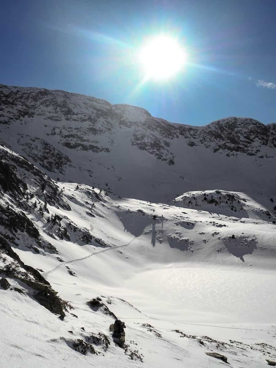
This breathtaking route climbs up the Sorteny Valley to reach Estany de L’Estanyó, a lake of glacial origin nestled in a spectacular setting.
The trail runs entirely within Sorteny Valley Natural Park, Andorra’s largest protected natural area, which has been a UNESCO Biosphere Reserve since 2020. This mountain paradise stands out for its great variety of plant species.
While the route has no technical difficulties, it is long, with a considerable elevation gain.
The first part of the route is a wide, comfortable path, perfect for snowshoeing (it’s the same path as the final section of the Mirador Grau de la Llosa route). Along the way, you’ll pass a botanical garden and some structures known as Estipagencs (metal bars with spiked edges, originally used to secure windows and now an emblem of the parish of Ordino).
Then, the trail changes dramatically, becoming a steep forest climb. This part is tough but worth the effort! As you exit the forest, the trail eases, and the landscape opens up. Soon, you’ll reach Estany de l’Estanyó, which in winter is completely covered in snow.
The return follows the same trail.
👌🏼 Our tip
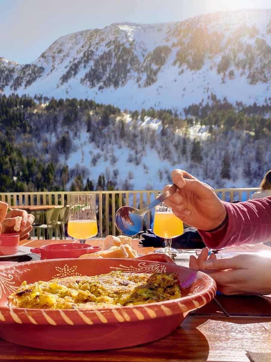
We recommend making a slight detour on your way down and stopping at the Sorteny hut. Its terrace is the best place to enjoy a drink while soaking up the views! If you’re feeling hungry, the hut also offers a menu with local products. We’ve eaten there several times, and it’s delicious!
- Estanyó Lake
- Trinxat at Refugi Sorteny
Mirador solar de Tristaina
📍Starting point: (free)
↔️ Distance: 4.8 km (one way)
⬆️ Elevation gain: 650 m
🟠 Level: Intermediate
🧭 Wikiloc route
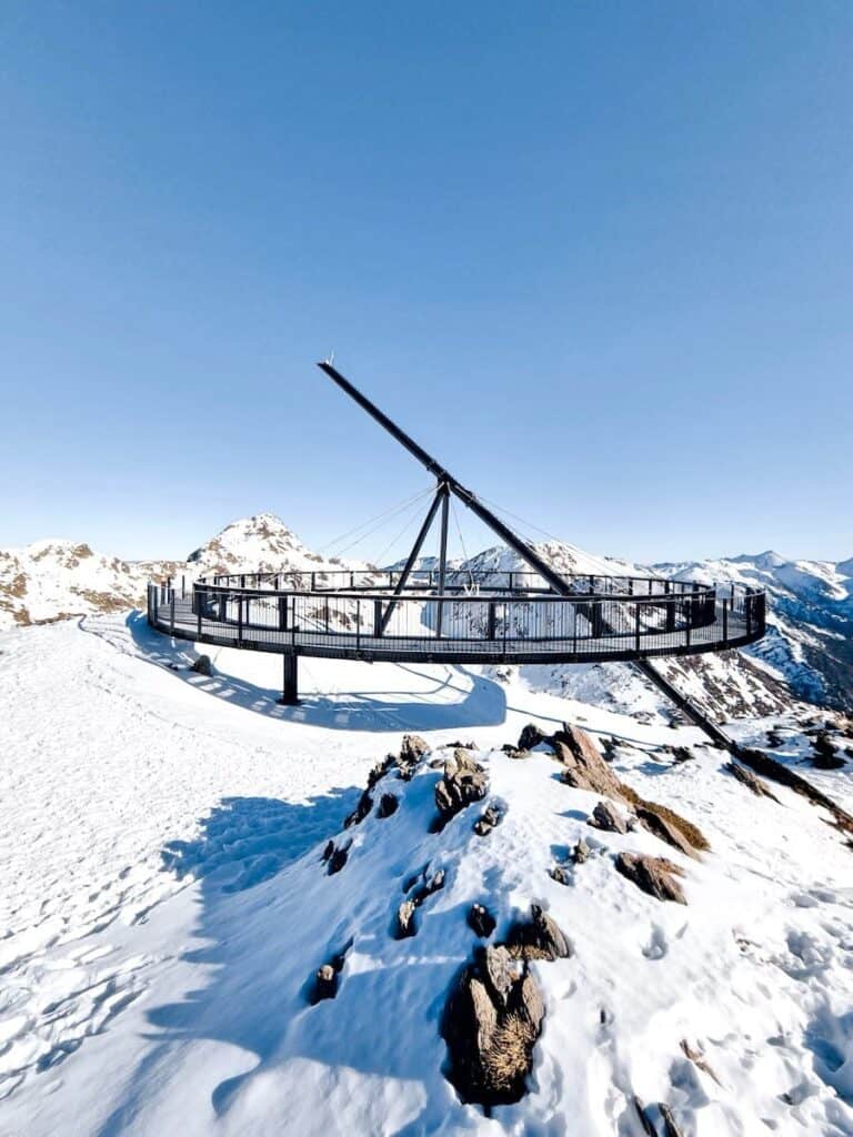
Mirador Solar de Tristaina is a giant spherical platform that hangs out above Peyreguils Peak, from where you get epic views of the surrounding mountains and several alpine lakes.
The lookout is actually a sundial, so it marks the time around its circular edge.
The trail starts at the Ordino-Arcalís ski resort, where you snowshoe up the Basera green run until getting to La Coma restaurant. The green run is a snow-covered road, and it’s great for warming up the legs! Along the way, you’ll pass the Arcalís’91 lookout (aka the Ring of Ordino).
From La Coma restaurant, things get steeper, but trust us, the views make it all worth it! You’ll pass by the Creussans Lake, completely covered in snow, and then keep going up until a mountain pass. You’ll be then standing on the border between Andorra and France! The views from there, as you’ll see, are insane.
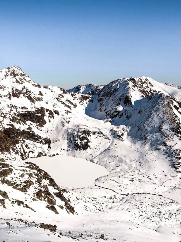
Time to snowshoe the last 400 m and finally reach the lookout, which has one of the most spectacular panoramic views in Andorra, including the three Tristaina Lakes and their glacial cirque.
The return follows the same way. We highly recommend stopping at La Coma restaurant for a drink to celebrate you’ve completed the route (especially if the sun’s out)!
⚠️ Important!
Since this route goes through a ski resort, you need to buy a Mountain Pass. It’s cheaper than a regular ski pass (it costs €17.50) and gives you access to the ski resort plus two upward and two downward lift rides per day. We’ve seen staff on the Basera green run checking passes, so it’s better to have yours ready!
- One of the three Tristaina Lakes
- Mirador Solar de Tristaina
Challenging snowshoeing routes in Andorra
These snowshoeing routes in Andorra are perfect for seasoned mountaineers and people in excellent physical shape.
They are all high-altitude routes with an elevation gain of more than 1000 m, which usually take between 7 and 10 hours to complete.
Estanys de l’Angonella
📍Starting point: Llorts (free)
↔️ Distance: 5.45 km (one way)
⬆️ Elevation gain: 1015 m
🔴 Level: Challenging
🧭 Wikiloc route
The cumulative gain in this route is over 1000 m in less than 5.5 km, so get ready for a non-stop uphill climb! Having done it a few times (both hiking and with snowshoes), we can confirm it’s a serious workout.
The trail begins in Llorts, a charming mountain village with traditional stone houses. From there, it winds through pine forests, and about halfway up, you’ll break out of the trees to beautiful open views. At this point, the vegetation disappears, giving way to snow-covered mountain meadows.
Keep pushing, and soon, you’ll spot the Angonella hut, an unguarded hut that sleeps up to 6 people. This is the perfect place to enjoy a snack and rest for a bit. Then, it’s time for the final stretch, where you’ll be rewarded with fabulous views of three snow-covered lakes.
Because few people venture to these isolated lakes, the landscape remains wild and virgin.
🫕 Hungry after the adventure?
If you make it back to Llorts in time for lunch, we highly recommend stopping at Brasseria La Neu. They serve traditional dishes with a modern twist, and everything is delicious. We especially love the aubergines with honey and goat cheese, the duck breast, and the meatballs with pine nuts. Plus, the place is really cosy!
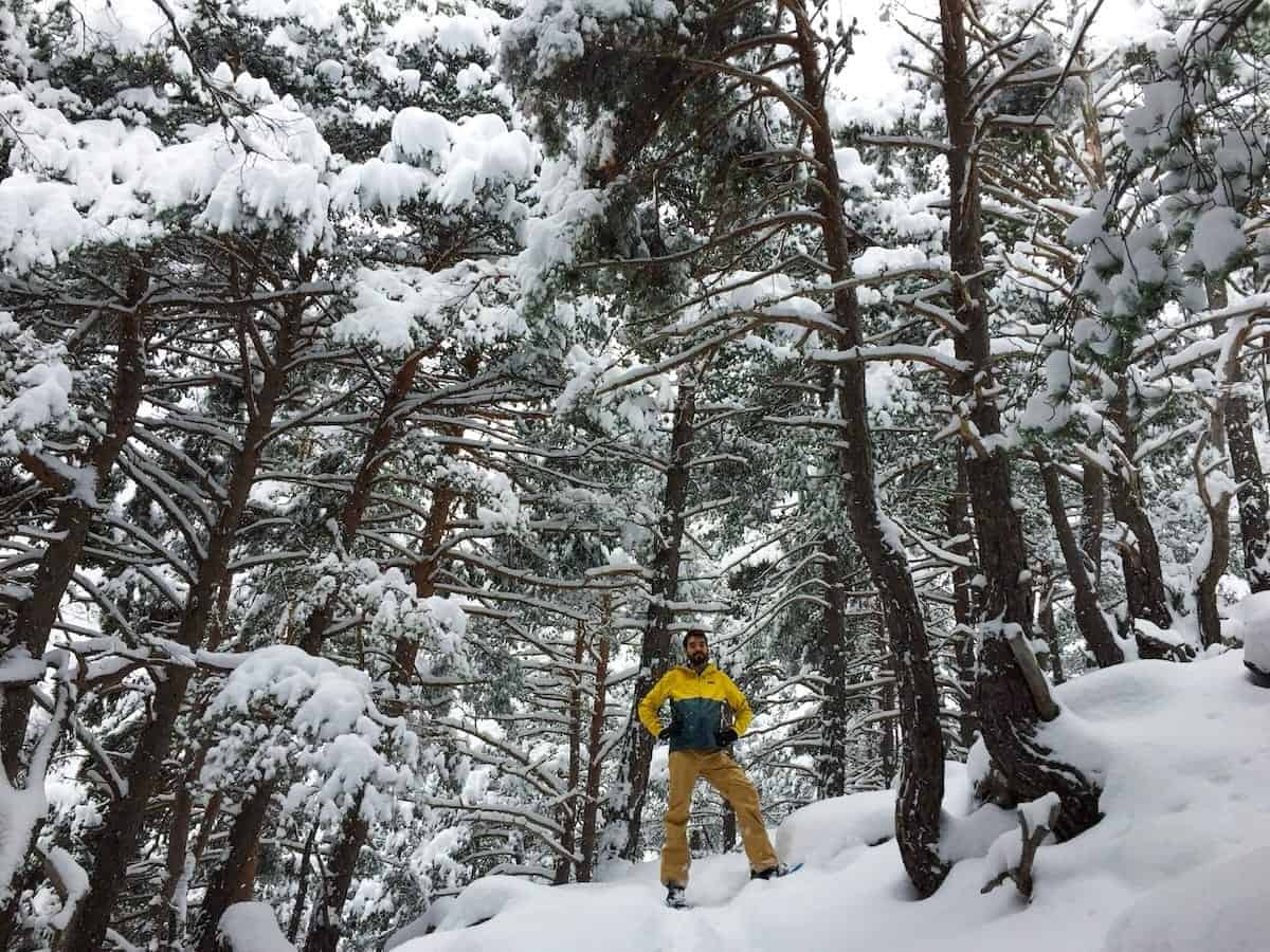
Estany de la Nou
📍Starting point: Madriu parking lot (paid parking)
↔️ Distance: 10.5 km (circular route)
⬆️ Elevation gain: 1000 m
🔴 Level: Challenging
🧭 Wikiloc route
This route takes you through one of Andorra’s most remote and scenic valleys, the Madriu-Perafita-Claror Valley, which was declared a UNESCO World Heritage Site in 2004.
The trail climbs gently through a beautiful forest, following the Madriu River, with no technical difficulties. After crossing a bridge, you’ll leave the Madriu River behind and start following one of its streams, the Perafita i Claror River.
About 4 km in, you’ll reach the Perafita hut, a stone shelter at 2200 m that sleeps up to six people. It’s unguarded and perfect for a quick rest.
From here, it’s time for the final stretch: less than a km to reach Estany de la Nou, an alpine lake with crystal-clear waters. On a clear day, you can even see the surrounding mountains reflected on its surface. It’s beautiful!
The return route follows the same path.
Pic de la Serrera
📍Starting point: Coma de Ransol picnic area (free)
↔️ Distance: 10.75 km (circular route)
⬆️ Elevation gain: 1040 m
🔴 Level: Challenging
🧭 Wikiloc route
At 2912 meters, La Serrera Peak is one of the seven peaks in Andorra exceeding 2.900 m of altitude, so the views hardly get any better!
The route to La Serrera Peak is a tough yet rewarding challenge, covering about 11 km roundtrip with 1040 m of elevation gain. But if you’re up for a challenge, this is an excellent choice for a fantastic hike in the Ransol Valley!
Starting along the Meners River, the trail leads to the frozen Ransol Lakes, then climbs to the Collada dels Meners pass. From here, you’ll take in sweeping sights of both the Ransol and the Sorteny Valley.
Be sure to pack a windbreaker, as it can get windy at the pass.
The last stretch is where things get a bit more complicated. It follows the mountain ridge until La Serrera Peak, where you’ll enjoy incredible 360-degree views of the surrounding peaks.
The way down follows the same path until you reach the Collada dels Meners pass. From there, you’ll descend to Estany Mort (Death Lake — it sounds spooky, but there’s nothing to worry about!). Next, you’ll pass by the Coms de Jan hut, an unguarded shelter with space for 10, before descending the final stretch through the forest.
This route can also be started from Sorteny (one of the most famous routes for backcountry skiing).
⚠️ Important!
In case of heavy snowfall, the road leading to the starting point may be covered in snow. This means you might need to begin the hike a bit earlier along the route, making it slightly longer.
Refugi de l’Illa
📍Starting point: Madriu parking lot (paid parking)
↔️ Distance: 20.3 km (2-days route)
⬆️ Elevation gain: 1650 m
🔴 Level: Challenging
🧭 Wikiloc route (first day and second day)
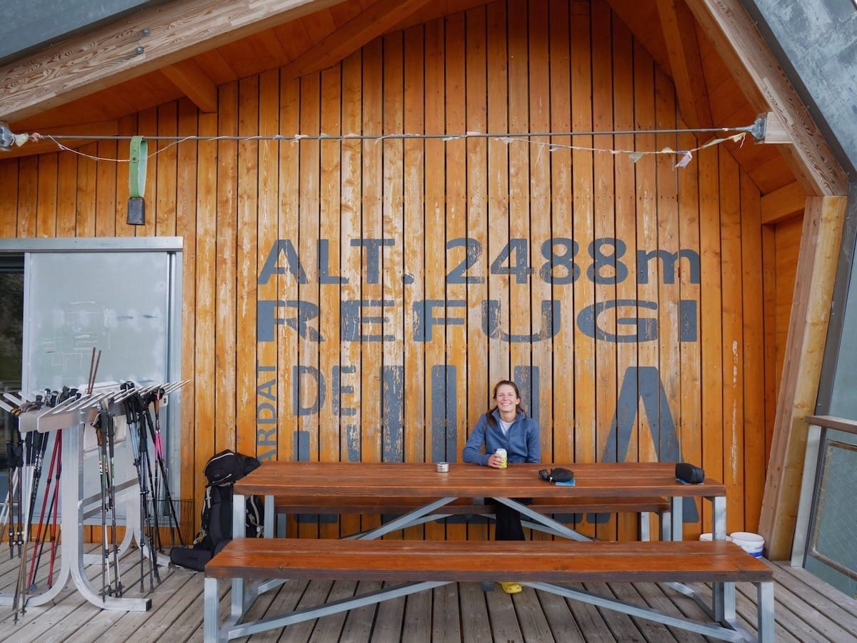
Refugi de l’Illa is Andorra’s highest and most isolated guarded hut.
It’s a modern hut built in 2016 atop the original unguarded shelter. It has a cosy wooden living room, warm showers (max. 1 min), nice rooms, and a stunning terrace with views of the lake and the surrounding mountains. Oh, and the views from the bedrooms and the living room are amazing!
But the best part is that there are two routes up to this hut that are truly beautiful. We couldn’t pick a favourite, so we combined them and created a two-day snowshoeing adventure here in Andorra!
The first day’s route winds through the Madriu-Perafita-Claror Valley, following the Madriu River through pine forests. Along the way, you’ll pass the Fontverd hut (an unguarded hut with 14 beds), the Riu dels Orris hut (another unguarded hut with 6 beds), and the small but breathtaking lake Estany de la Bova.
The second day’s route starts by snowshoeing to the near Illa Lake before ascending Pessons Peak. From here, you’ll get unbeatable views of the famous Pessons Lakes, a beautiful glacial lake system with seven main lakes located near the Grau Roig sector of the Grandvalira ski resort.
But enough of admiring them from above! It’s time to descend (a steep one!) and pass by the seven lakes until reaching El Cubil parking lot, where this adventure ends.
Snowshoeing routes in Andorra ski resorts
Another option if you’re looking to practise snowshoeing in Andorra in a safe way is to head to a ski resort. The resorts are home to several routes that vary in difficulty and length:
- Pal-Arinsal: 17,4 km of trails for snowshoeing, mostly through beautiful pine forests. The ski resort has six different tracks that vary in difficulty, so there’s something for everyone.
- Ordino Arcalís: Five snowshoeing tracks (the same ones as mountaineering skiing) in an alpine setting. Great views of the surrounding mountains.
- Grandvalira: This ski resort is home to 20 snowshoeing routes, so as you can imagine, there’s quite a lot of variety! You can find routes that unwind through pine forests, others with epic views, and others to admire frozen lakes.
- Naturland: It offers two snowshoeing routes that wind through a beautiful forest and have amazing views.
⚠️ Important!
Since these routes go through ski resorts, you need to buy a Mountain Pass. It’s cheaper than a regular ski pass (it costs €17.50) and gives you access to the ski resort plus two upward and two downward lift rides per day.
Useful tips for snowshoeing in Andorra
🗺️ GPS track
We HIGHLY recommend using a GPS or a navigation app. We use Wikiloc, but Kmoot, AllTrails, or any similar one will do (just make sure the route is available offline).
In winter, trails are snow-covered, making it hard to spot markers and easy to stray off course. A GPS will help you stay on track and safe.
🌨 Weather and avalanches
Before setting off, always check the weather and avalanche risk. Make sure you’re prepared and know what to do in case of an avalanche.
🥾 Footwear
Wear waterproof hiking boots for these routes. If there’s a lot of snow, waterproof gaiters can help keep snow out of your boots and your pants dry.
🧤 Clothing
Dress in layers. You’ll want to be like an onion for snowshoeing in Andorra. Layering helps keep you warm and dry as you adjust to temperature changes.
A breathable base layer with hiking pants or fleece-lined leggings is ideal. If you get cold easily, add thermal leggings under your pants. This setup should keep you warm on the uphill, but you might need an extra layer, like a down jacket, for the descent.
🚗 Car chains
In Andorra, from Nov 1st to May 15th, you’re required to have winter tires or snow chains. If you’re using chains, fit them on the drive wheels and keep your speed under 50 km/h.
Failing to follow these rules can result in a €180 fine (and nobody wants that!).
🆘 Emergencies
For emergencies, dial 112.
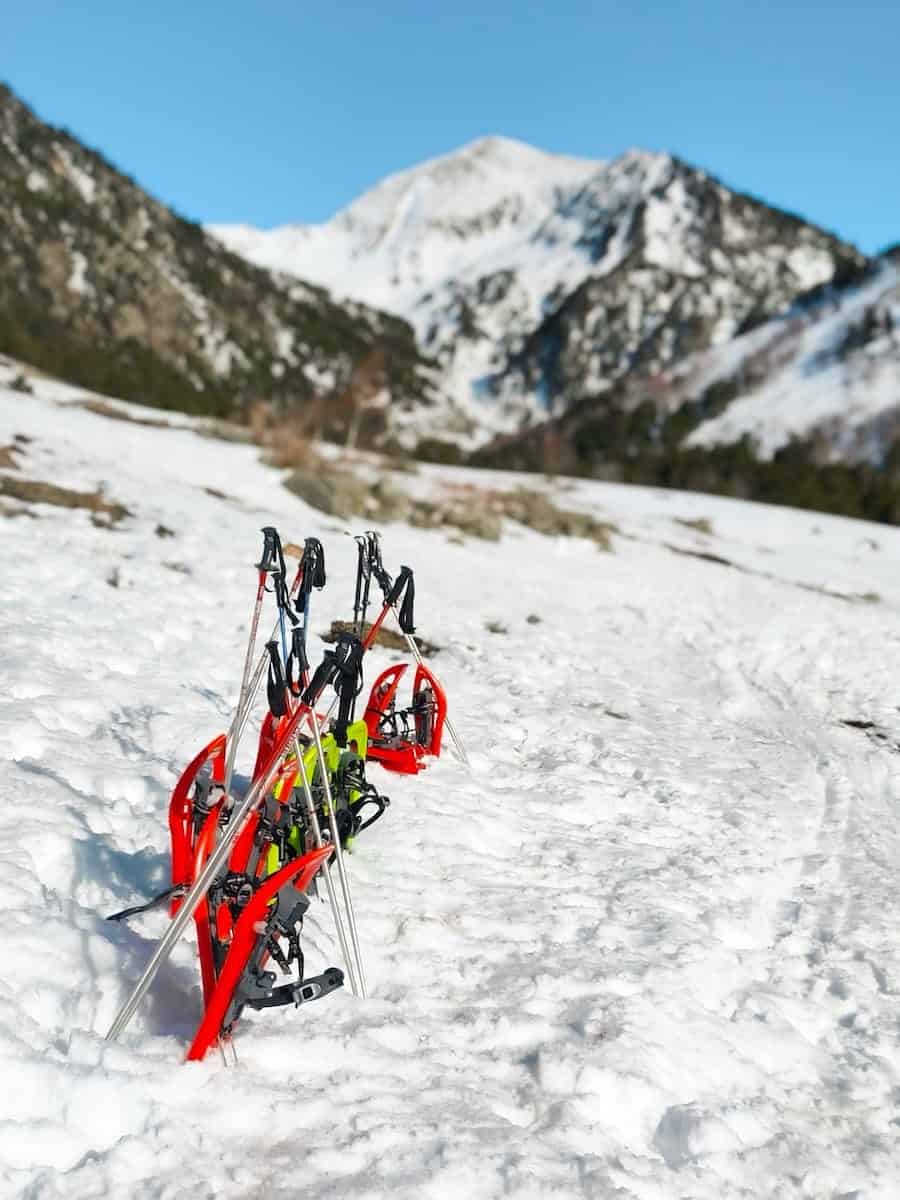
We hope this guide helps you experience the magic of snowshoeing in Andorra and discover stunning landscapes covered in white. Do you know any other snowshoeing routes here?
Planning a trip to Andorra in winter?
We’ve written several guides to help you discover Andorra during the winter season:


0 Comments